- Erdšomljo appears on maps from the late 15th century onward.
- Early maps show it as a symbolic fortified town.
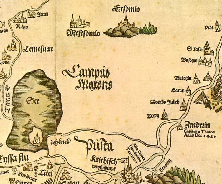
- The Lazarus Map depicts it as a dominant hilltop fortress.
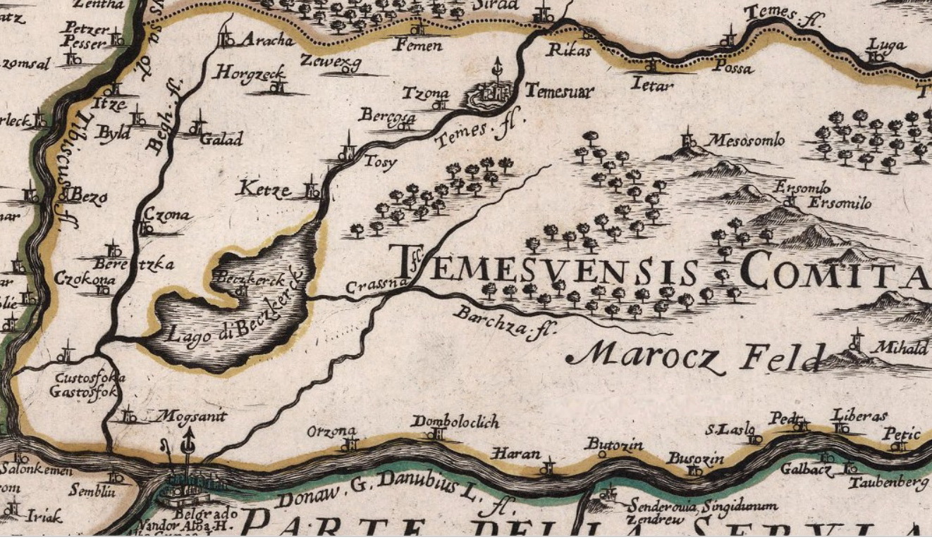
- Later cartographic errors misplaced its location.
- Correct positioning appeared only in the late 17th century.
Gallery: